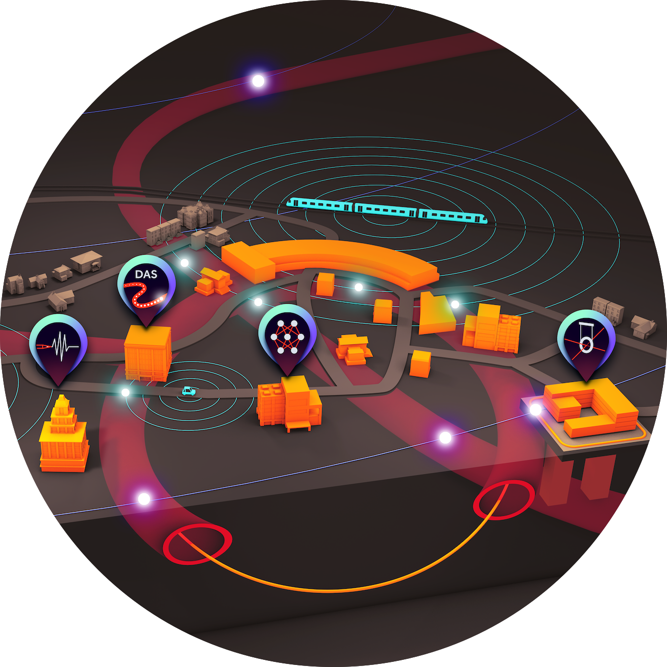
The WAVE initiative investigates and designs a seismic and geo-acoustic measurement network in and around the Science City Hamburg Bahrenfeld. WAVE is a unique and innovative infrastructure for geophysics, physics and especially for large-scale research facilities.
How it started
In a first step, the WAVE concept has already been tested under realistic conditions to demonstrate the feasibility and possibilities of such a network on site. To this end, the initiative carried out a proof-of-concept experiment on the DESY/UHH campus in Bahrenfeld in May 2021, using, among other things, a 12.6 km long, existing and continuous strand of currently unused telecommunications fiber as a series of seismic sensors. The wave field was recorded at high resolution, with 1 m intervals along the entire length of the fiber.
Since then, we have expanded the network to currently 19 km of fiber, organized several outreach and Livestreams of the data, including during a Taylor Swift Concert. We hold regular Workshops and other events, and of course we also use the data for a range of interdisciplinary scientific analysis!
Map of the DAS-fiber track
The 19 km fiber paths provide us 19000 distributed seismic sensors on the Campus, read out with a single DAS interrogator. The current fiber track is shown in the following map in yellow. Zoom in for more detail.
- In the West-North is a long yellow line which represents the fiber running through the 3.4 km EuXFEL tunnel a few meters below the surface. The fiber is laid in both directions.
- The central ring traces the PETRA ring, where the fiber partially runs through buildings, inside tunnels, and along cable trays.
- One campus loop includes the Max von Laue Hall, where the fiber runs also through the PETRA ring buildings and other buildings or cable trays under the surface all over the campus.
Georeferencing: Find the fiber!
Our approach involves using existing dark telecommunication fibers on campus, rather than laying new ones. This means we are working with unknown fiber paths and simply connecting the ends to form a continuous loop. The challenge lies in determining the exact geographical positions of these fibers, as their routes are not pre-determined or mapped. Additionally, some fibers may be coiled or have unexpected paths, adding to the complexity.
To address this, we use a method that involves striking the ground with a hammer to create vibrations, which works in combination with a GPS positioning system. By exciting the ground at specific GPS locations and times, we can identify these events in the DAS data and pinpoint where the fibers are located.


With this technique, we can produce the detailed geoplots featured in our outreach materials and the blog . The following animation shows a geoplot, where seismic waves from an Earthquake in China propagating along the EuXFEL tunnel.
On the right, a typical representation for DAS data (waterfall diagram) is shown, which color-codes the time series of strain amplitude (y-axis) for each fiber sensor (channel, x-axis). Here, the dark blue color represents compression and light yellow represents elongation of a fiber segment. On the left, the evolution over time of the strain amplitudes (strain rate) recorded at all DAS sensors is projected onto the fiber track along the EuXFEL tunnel.
During the Science City Day at Campus Bahrenfeld, we actually offered the game “Find the Fiber.” We set up a playground with a few hundred meters of fiber hidden beneath rubber mats. Visitors had to locate the fiber by walking or jumping on the checkerboard pattern of mats. At that time in June 2024, we didn’t have a geoplot available for this playground, so visitors learned how to read a waterfall diagram instead.


More scientific results and experiments with the WAVE network are here.
Other seismic sensors
In addition to distributed acoustic sensing (DAS), we also have other seismic sensors on campus from the various institutions whose data we can access. These include broadband seismometers with high sensitivity, even over long measurement periods, and geophones, which are more capable of measuring signals in the high-frequency range. These sensors measure seismic displacements rather than the seismic strain captured by the DAS system and they are point sensors, requiring individual placement at specific positions to monitor seismic signals. Each measurement point needs one seismometer, making it impractical to create dense sensor networks over large spatial areas. In contrast, the DAS system provides 19,000 sensors over multiple kilometers with 1 meter resolution.
Where is WAVE headed?
Over the next years, we intend to realise a seismic and geo-acoustic measurement network in and around the Science City Hamburg Bahrenfeld. WAVE will become a unique and innovative infrastructure for geophysics and physics experiments and a core asset for the Science City and its partners.

One of the long-term goals is studying the optimal placement and characteristics of seismo-acoustic sensors. On the data side of things, we will establish common data transmission and processing pipelines, as well as create data sharing and usage policies. This specifically includes the handling and storing of data according to data protection laws.
Major scientific advances are foreseen in seismology and geophysical modelling, urban systems research, real-time machine learning, and, prominently, low-latency predictions for active disturbance reduction. WAVE will also foster the development and integration of novel sensors, such as quantum-based inertial sensors, to continuously increase its capabilities.
The internationally unique infrastructure and science network will establish best practices for vibration cancellation in large-scale and precision physics experiments, bringing new frontiers of precision measurements into reach, while simultaneously providing insight into the evolution of the Science City at and beneath its surface.
Contact
Have we peaked your interest? Would you like to contribute? If you wish to contribute, or get an impression of what we work on, please contact Prof. Celine Hadziioannou .
